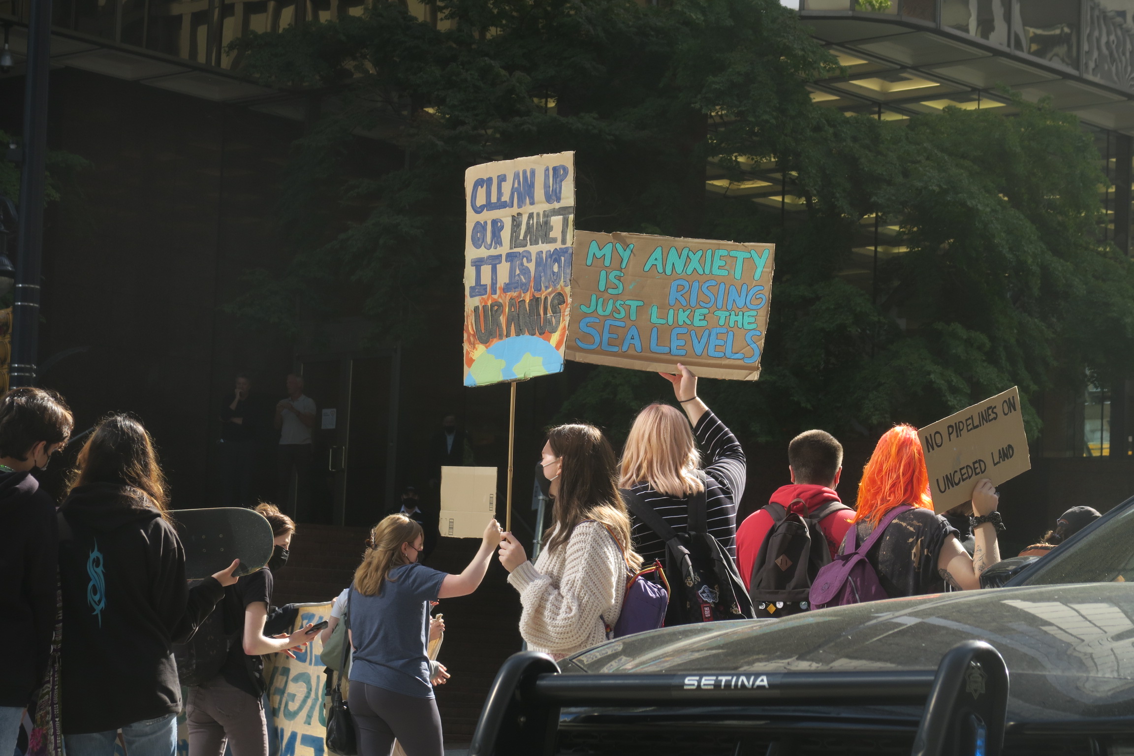
They’re back: Today’s Fridays for Future strike — the first in 18 months — will see youth activists taking to the streets again to push progress on solutions to climate change.
Here’s what you can do to raise awareness and seek solutions where you are.

VIDEO: Irma incoming — why recent hurricanes are so severe
By Ian Mason
GSS Science Editor
LINCOLN, Nebraska — Miami is bracing for the second major hurricane to hit the coastal United States in two weeks: Hurricane Irma, a category five storm, has already battered the Caribbean and is on its way to hit southern Florida, causing thousands of residents to flee and the rest to prepare for what is expected to be one of the worst storms ever to hit the East Coast.
Late afternoon sun casting a shadow on Hurricane #Irma‘s eye. #GOES16 pic.twitter.com/CQaSgHzVN6
— NASA SPoRT (@NASA_SPoRT) September 5, 2017
Videos and photos on Twitter at #irma revealed the shocking toll as the hurricane plowed through the islands of Barbuda, St. Martin and Puerto Rico:
Via Jonathan Falwell on St Martin: No power, no water, everything destroyed. Buildings gone. Please pray as this island is decimated. #Irma. pic.twitter.com/Gu5iwgUX4P
— Ed Piotrowski (@EdPiotrowski) September 7, 2017
Two weeks ago, Hurricane Harvey wreaked havoc on southern Texas, dropping 52” of rain in some places, more than New York City sees in a year.
This has led many people to ask the question: “Is global warming to blame for such severe hurricanes?” Though weather scientists are still gathering data on Harvey and will be doing the same for Irma, knowing the basics of weather, global warming, and of course, hurricanes, can help answer that question.
In this video, I’ll talk you through the basics of fronts and low-pressure systems, which are a staple of understanding meteorology. You’ll see how global warming has impacted the Earth over the past couple of hundred years, and understand more about factors behind stronger storms, including rising sea levels and warmer water.
Special thanks to Trevor Maus and Kyler Johnson of the University of Nebraska-Lincoln, who helped produce this video.
Featured photo: The GOES-16 satellite captured this geocolor image of Hurricane Irma — a category 5 storm with winds as high as 185 miles per hour — on Sept. 6,2017. Photo by National Oceanic and Atmospheric Administration/U.S. government work.
Related Posts